


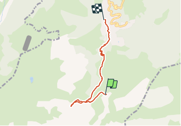

18.1 km | 34 km-effort


User


FREE GPS app for hiking
 SityTrail
IGN / Geographical institutes
SityTrail World
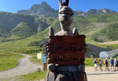
The world is yours!
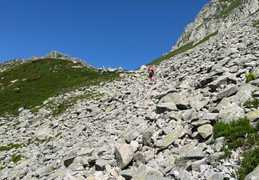
Trail Walking of 4.9 km to be discovered at Auvergne-Rhône-Alpes, Savoy, Les Avanchers-Valmorel. This trail is proposed by dautriche.
Petite mise en jambe pour réchauffer les articulation ... montée par le télécabine de Pierrefort et redescendre tranquillement et rejoindre le village du soleil. 5km facile pour tous les âges !

Walking
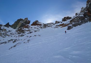
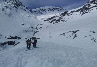
Touring skiing

Touring skiing
Walking
Walking
Walking
Snowshoes
Walking
Touring skiing